South Creek Greenway
South Creek Greenway runs east-west through the middle of Springfield, and is designated a National Recreation Trail by the National Park Service and American Trails in 2006. The trail starts at McDaniel Park Trailhead at National Avenue and Sunset Street and links to Nathanael Greene Park/Close Memorial Park, the Springfield Botanical Center, Sherwood Elementary School, Carver Middle School and many neighborhoods and destinations. The trail, via an on-street connection, also connects to Wilson’s Creek Greenway at Tal’s Trailhead.
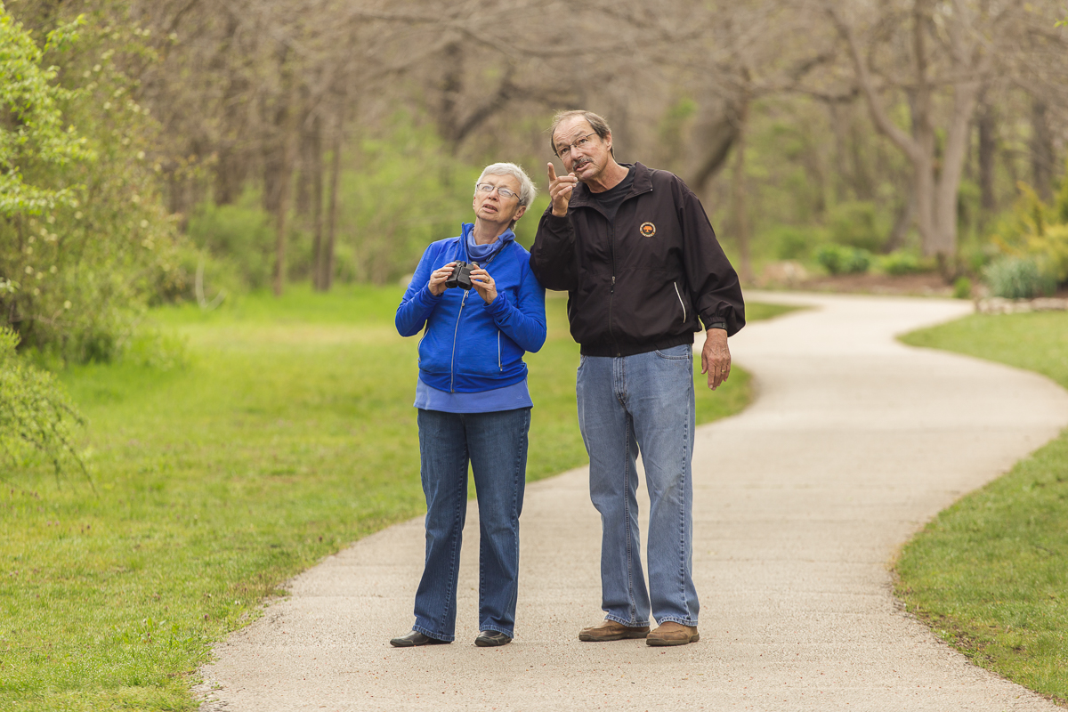
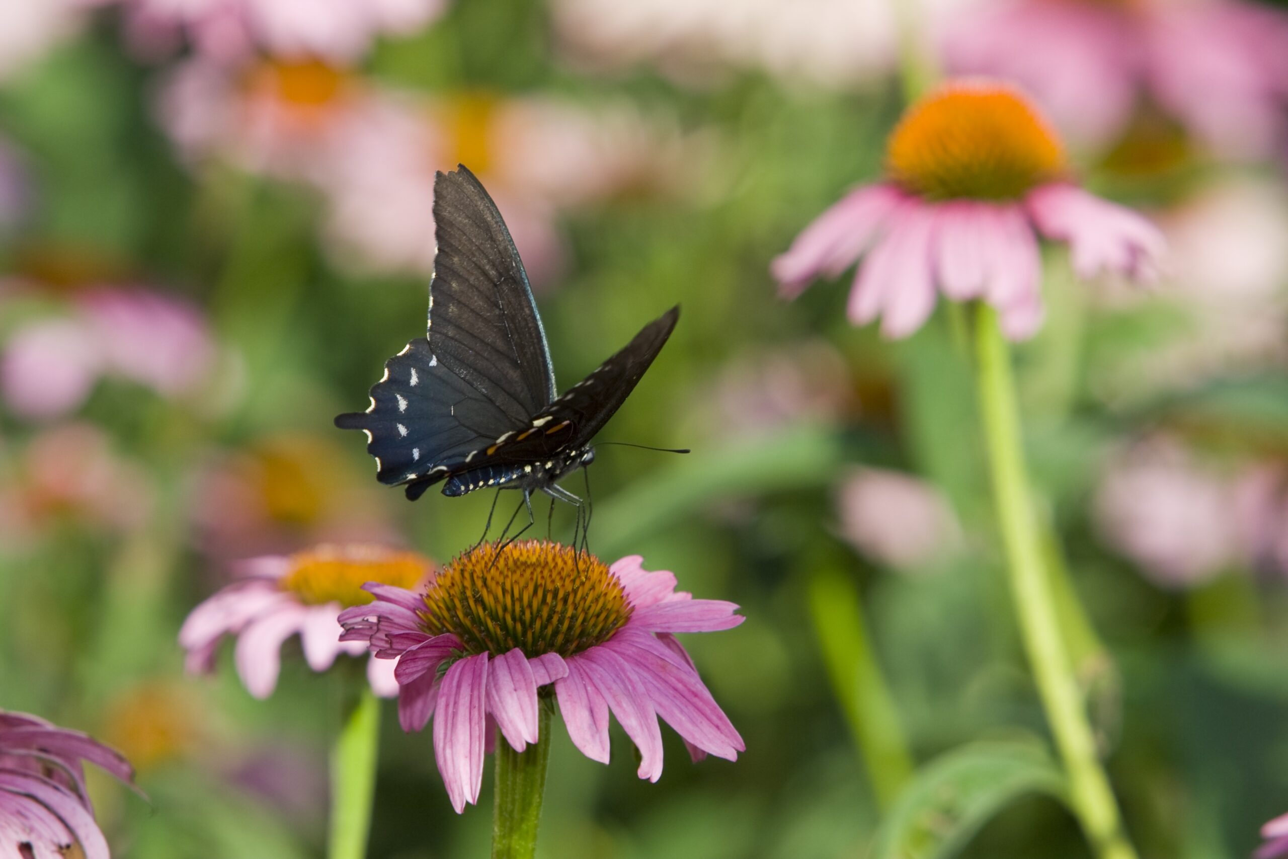
POINTS OF INTEREST: Greater Ozarks Audubon Society has adopted the two-mile trail section between National and Campbell Avenues along Sunset Street which hosts over a 100 species of birds; The birds-eye view from on top of the Kansas Expressway’s bicycle pedestrian bridge; Springfield-Greene County Botanical Center and adjacent Roston Native Butterfly House; Gray/Campbell Farmstead; Mizumoto Japanese Stroll Garden; Nathanael Greene Park/Close Memorial Park/Drummond Lake; Connection to Wilson’s Creek Greenway and all its features including Rutledge-Wilson Farm Park.
NOTE: There is a 1/2-mile gap between trail segments at Battlefield Road near Highway 160. These two sections are connected with bike lanes, sidewalks and signage along Battlefield Road.
Parking & Trail Access
Parking is available at McDaniel Park Trailhead at 2405 S. National Ave. (National Avenue and Sunset Street); Nathanael Greene Park/Close Memorial Park at 2400 S. Scenic Ave.; and Tal’s Trailhead at 3351 S. Kaufman Rd.
Gallery
View the South Creek Greenway Gallery

Length |
6 miles total |
Terrain |
Mixed asphalt and concrete paved surface – Minimal to moderate inclines |
Accessibility |
Walkers, runners, bicyclists, in-line skaters, wheelchairs, baby strollers |
Hours |
Open during daylight hours only |